
Land Use / Planning & Zoning Maps
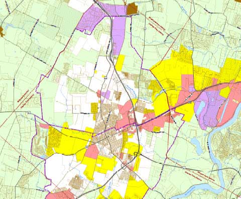
2025 Zoning Map
Jefferson County, WV
This is the current recorded zoning map for Jefferson County. The map at full size is 36x54in.
Author
Office of Planning/Zoning & JC GIS/Addressing Office
Date Recorded
March 18, 2026 (Plat Book: 27, Page: 651)
Date Published
July 30, 2026
Download PDF Map
2025 Zoning Map
US 340 East Corridor Study
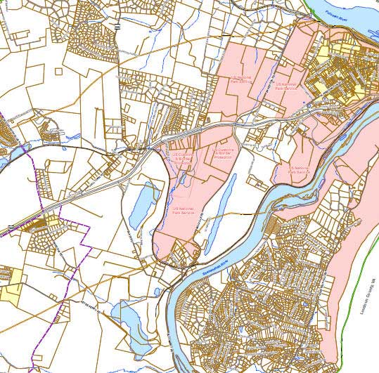
This collection of maps was created for the US 340 East Corridor study being conducted by the Jefferson County Office of Planning & Zoning.
Author
Jefferson County GIS/Addressing Office
Date Published
March 2011
See All US 340 East Corridor Study Information
Cellular Mounted Assets
Jefferson County
Author
Office of Planning& Zoning
Jefferson County GIS
Addressing Office
Date Published
2010
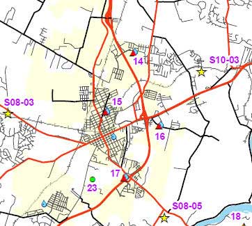
This map contains the locations of all known cellular mounted assets as of May 2010. The map at full size is 11x17in. For more info, contact the Jefferson County Office of Planning & Zoning.
Download PDF Map
Cellular Mounted Assets
Conventional & Minor Subdivisions
Jefferson County
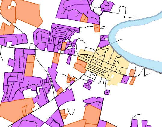
This map contains all Conventional (Major) and Minor Subdivision locations from 1972-2008. The map at full size is 36x60in.
Author
Jefferson County GIS
Addressing Office
Date Published
August 2008
Download PDF Map
Conventional & Minor Subdivisions
Subdivision Development Patterns
Jefferson County
This map shows growth by decade in Jefferson County from 1972-2008. The map at full size is 11x17in.
Author
Jefferson County GIS
Addressing Office
Date Published
August 2008

Download PDF Map
Subdivision Development Patterns
Halltown Study Area
Jefferson County
This map shows the existing and future development of the Halltown Area in Jefferson County. The map at full size is 11x17in.
Author
Jefferson County GIS
Addressing Office
Date Published
August 2008

Download PDF Map
Halloween Study Area
Have Questions?
Contact the Office of Planning & Zoning to learn more. We’re happy to help!
Phone
304-728-3228
Address
116 E. Washington Street, Suite 200
Charles Town, WV 25414
planning@jeffcowv.gov
zoning@jeffcowv.gov
Hours
Monday-Friday: 9:00 am – 5:00 pm